The maps
The land itself
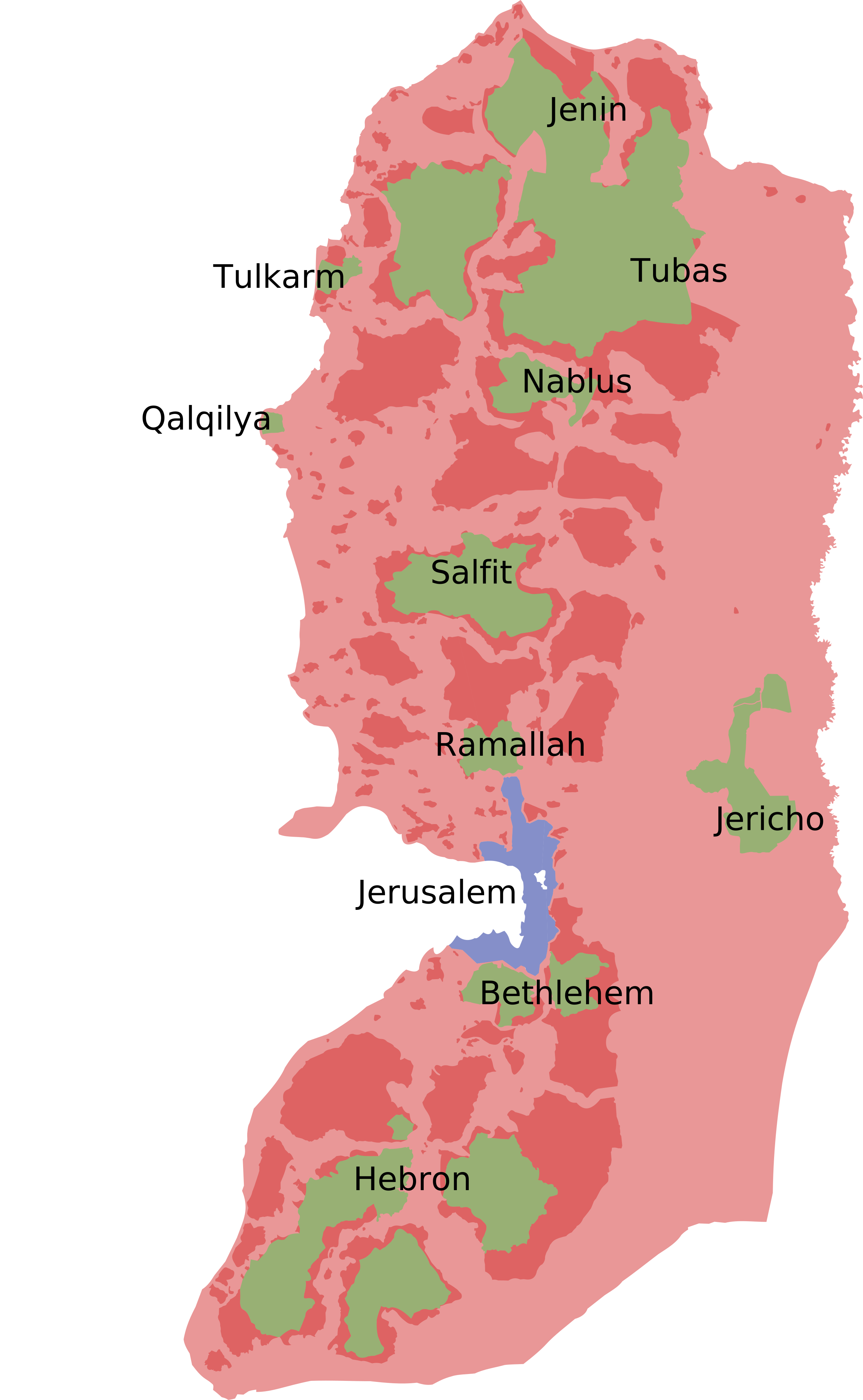
People argue about this land from a distance. Start closer: where Gaza and the West Bank actually sit, then the maps that show how the land was divided, decade by decade, by decisions taken far from it.
Palestine today
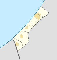
It is a small country on the eastern Mediterranean. Gaza sits on the coast, the West Bank in the hills inland. Jerusalem lies between them. Pan to explore; the boundaries shown are the 1949 armistice lines, commonly called the Green Line.
Base map and data from OpenStreetMap contributors.
The land over time
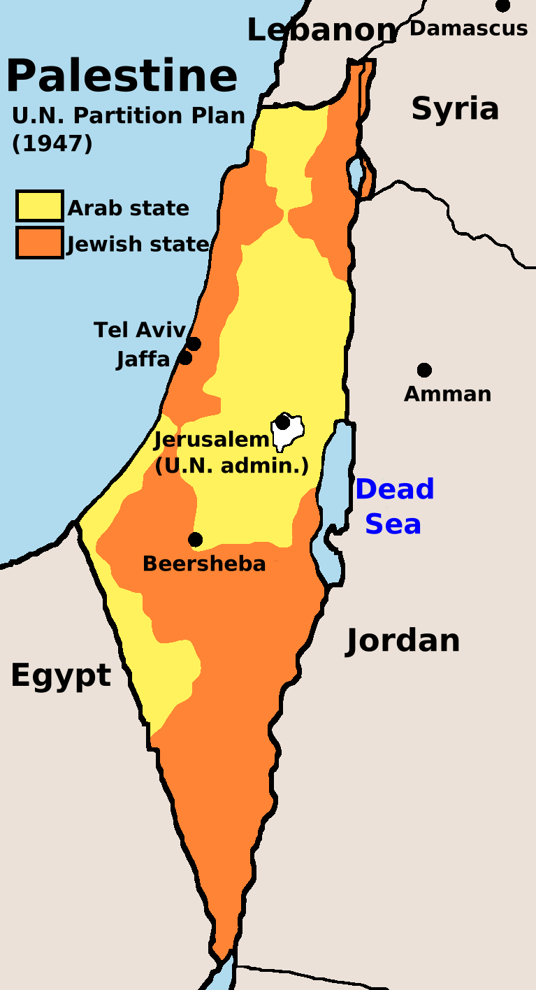
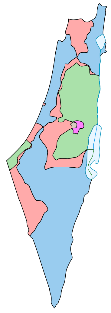
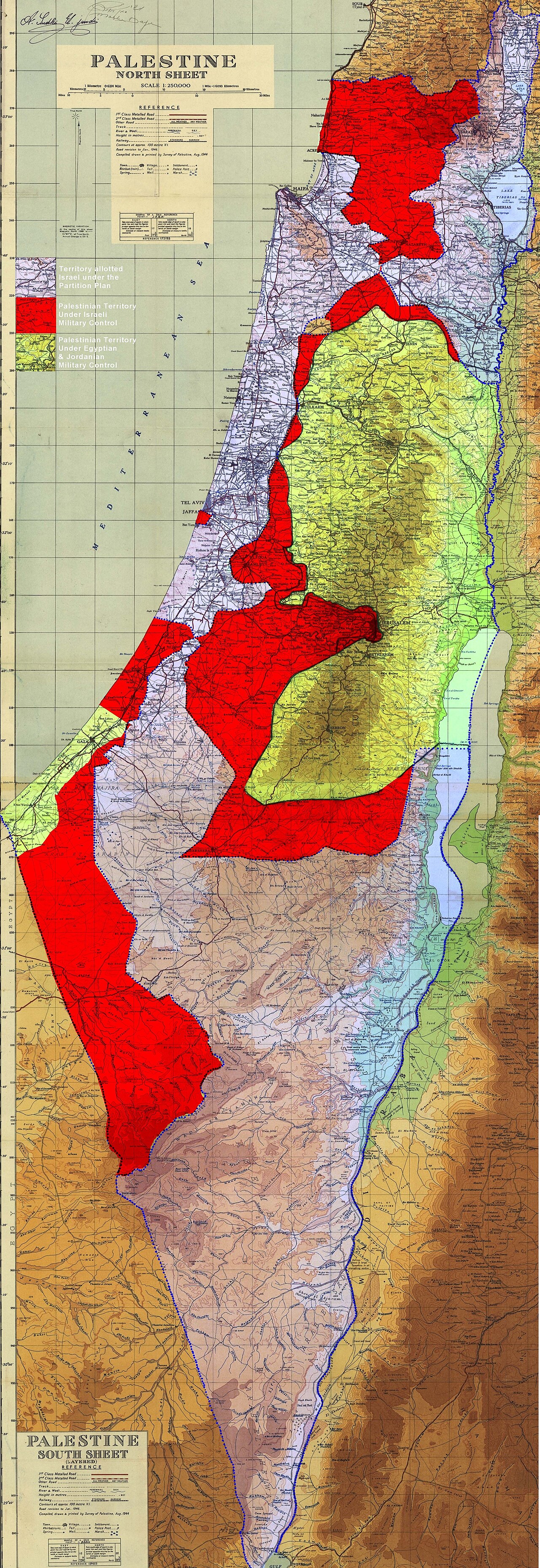
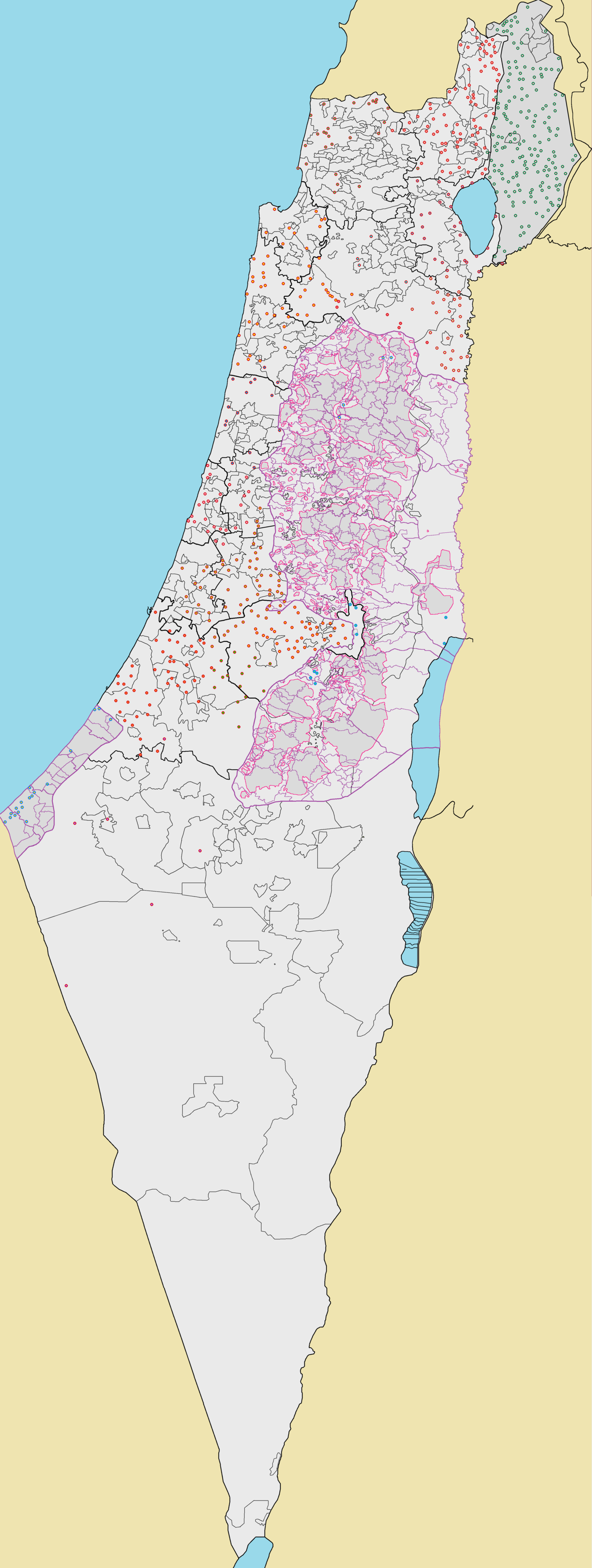
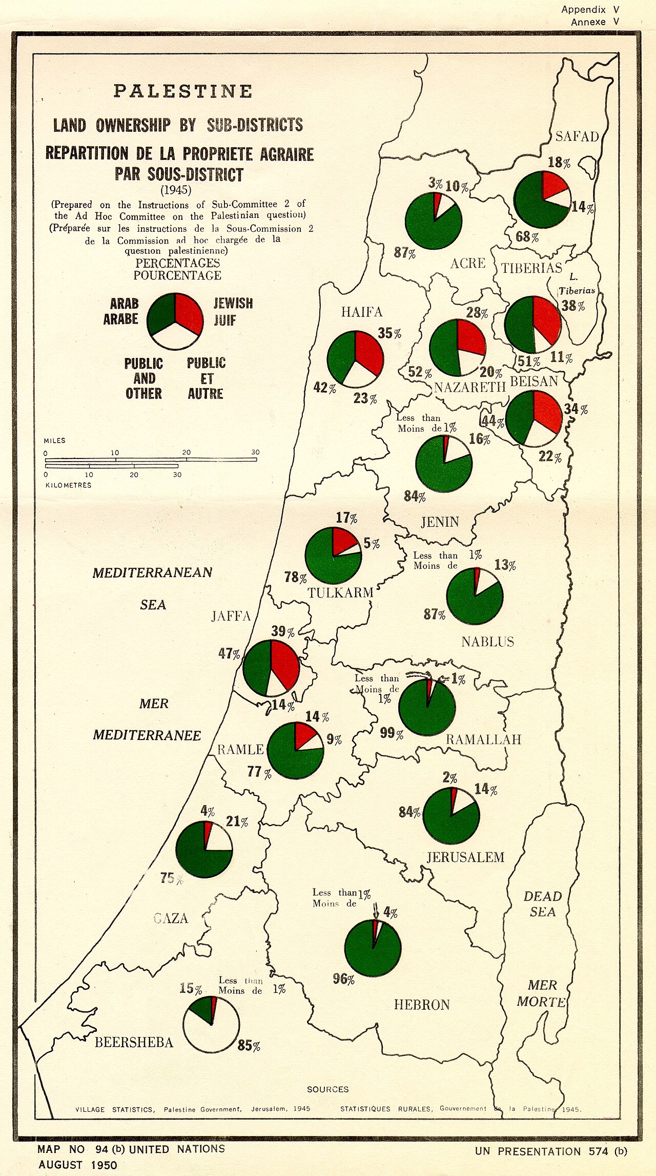
The maps below are historical documents, reproduced from public archives with credits on each one. Read them in order. They show the division of the land more plainly than any headline has.
.jpg)